What can satellites see when they look at Europe’s forests?
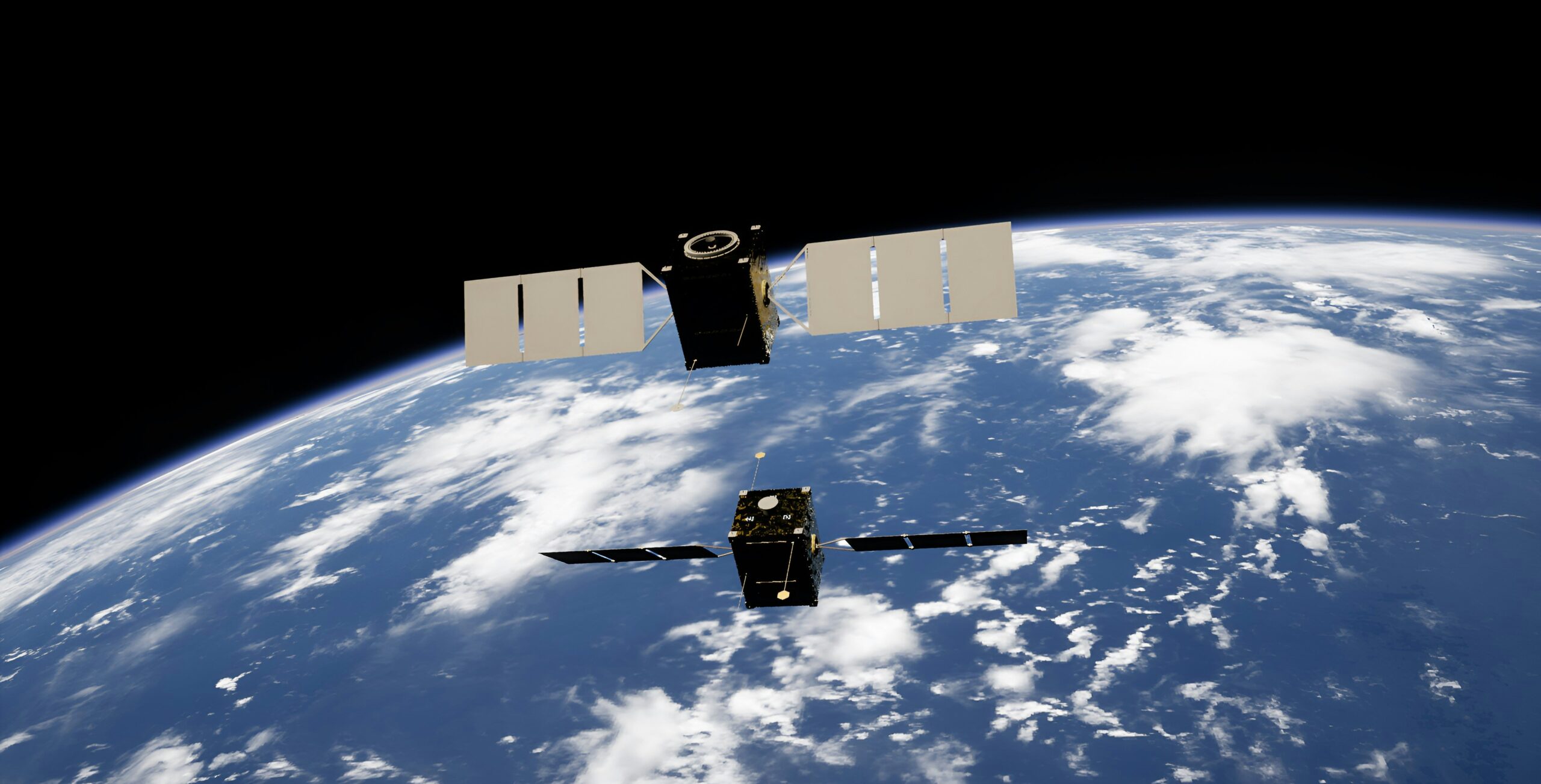
Four new studies show how Earth observation has become an everyday instrument for watching and protecting the continent’s forests and green spaces, from a single city park to the whole of Europe.
Europe’s forests and urban greenery are under mounting pressure. Warming, drought, invasive pests and increasingly frequent disturbances are reshaping them faster than ground surveys alone can follow. To protect these ecosystems, we first have to be able to see them at every scale, from a single stretch of coastal pine to the entire continent. This is where Earth observation has quietly become indispensable. Four recent studies show just how much, and how differently, satellites can now work for forests and green spaces. Produced in part by the same connected community of European researchers, together they answer one simple question: what, exactly, can satellites do?
1. Map the green we live in
The first job is also the most easily misjudged: measuring the green around us. In Integrating earth observation and graph theory to evaluate urban green spaces connectivity across European capitals (Landscape Ecology), a team led by researchers from the University of Florence mapped vegetation across 28 European capitals at 10-metre resolution and analysed it with graph theory and found that how much green a city has is a misleading measure. A capital can be rich in parks yet leave them as isolated fragments, while another weaves its green into a continuous, functioning network. “Satellites let us view urban green spaces as a connected system rather than isolated parks or trees,” says Giovanni D’Amico, a co-author of the study. “From above, we can measure how green areas are distributed and connected across an entire city, helping planners identify gaps, barriers, and strategic areas where interventions could strengthen ecological connectivity and make urban nature more resilient.”
From taking stock of the green we have, satellites turn to tracking a specific threat.
2. Monitor and alert
Along the coast of Campania, the stone pines (Pinus pinea) that frame the Italian shoreline are being killed by Toumeyella parvicornis, an invasive scale insect first recorded in the region in 2014. In Spatio-temporal assessment of Toumeyella parvicornis spread in mediterranean coastal pine forests through sentinel-2 data (European Journal of Remote Sensing), Giovanni D’Amico reconstructed the pest’s spread between 2017 and 2025 using years of Sentinel-2 imagery and explainable artificial intelligence, building maps reliable enough to anticipate where it is likely to strike next. “Field surveys are essential, but they cover limited areas and often detect damage only after it becomes visible on the ground,” he explains. “Satellite observations make it possible to monitor large areas repeatedly and consistently, highlighting changes in vegetation condition and the spatial progression of the infestation, and therefore helping identify where impacts are emerging and where field inspections and management actions should be prioritized.” The risk is largely driven by contagion: pines are most exposed where a stressed canopy sits close to existing outbreaks.
One pest on one coastline raises a continental question: which forests are disturbances actually hitting?
3. Quantify on a continental scale
To work at that scale, Natural disturbances from bark beetle outbreaks and windthrow increasingly affect Europe’s most mature and carbon-rich forests (Biogeosciences), led from the GFZ Helmholtz Centre in Potsdam, combined three decades of satellite-derived maps of disturbance, biomass and tree species, with data on forest age. What it reveals is not simply that disturbances are increasing, but that they are increasingly selective. “Disturbances are not only increasing; they are also increasingly affecting Europe’s older, most carbon-rich forests,” says Simon Besnard — a change “very hard to capture from ground measurements alone.” The disturbed area of forest over 60 years old has nearly tripled since 2010, and the damage is concentrating on the densest, most carbon-rich stands, enough that, if the trend holds, natural disturbances could expose carbon equivalent to around 20% of Europe’s forest carbon sink by 2040. “This matters because these forests hold a disproportionate share of the continent’s carbon,” he adds. “Losing them to climate-sensitive disturbances such as bark beetle outbreaks could substantially weaken the forest carbon sink that Europe relies on to meet its climate ambitions.”
And once a forest is hit, what does the damage leave behind?
4. Measure the temperature
Finally, satellites can capture a consequence that is invisible on the ground. In Disturbance characteristics and forest properties regulate surface warming and recovery across Europe (Nature Geoscience), researchers combined Landsat measurements of summer land-surface temperature with a Europe-wide disturbance atlas, finding that disturbed forest patches stay, on average, 1.70 °C warmer than nearby intact forest: a local surface signal, not a rise in regional air temperature, but one that can last for years and shape how forests regrow. The warming is strongest where canopy loss is most severe, and in plantations, which also recover more slowly than natural forests. The reassuring part: more than 82% of it fades within a decade. “Forest management can influence the size and duration of this local heat footprint,” says Saverio Francini. “Limiting unnecessarily large canopy openings and keeping forests structurally complex can help moderate post-disturbance warming — one more reason to build thermal resilience into European forest policy.”
Together, the four studies draw the same picture from four angles: Earth observation has become an infrastructure for understanding and protecting Europe’s forests — able to map the green we live in, monitor emerging threats, quantify what is at risk, and measure effects no one on the ground could see. The question the researchers now share is what satellites will let us see, or prevent, that they cannot yet.