

The ForestWard Observatory
FORWARDS will employ information from sites belonging to three main types of network: existing networks, a network of demo sites, and a network of pilot sites. The network of demo sites is a subset of the network of pilot sites. The demo sites are already determined from the beginning of the FORWARDS consortium. The network of pilot sites will be extended during the implementation stage using the grants-to-third-parties. Any of these networks may be geared towards either forest monitoring or testing CSF & Restoration management activities.
The data streams from which the project will derive information from a pan-European perspective will come from the following sources.
The forest ward observatory
Thanks to the ForestWard Observatory, FORWARDS will reconcile the current divide between forest information obtained from the ground and remote sensing. This will be achieved by incorporating the concept of monitoring supersites and novel approaches to more comprehensively characterize cause-effect relationships of forest disturbances.
The ForestWard Observatory will provide:
- timely and detailed information on European forests’ vulnerability to climate change impacts
- science-based knowledge to guide management using the principles of climate-smart forestry, ecosystem restoration, and biodiversity preservation (CSF & Restoration)
- stakeholder engagement and public participation in decision-making processes.


Existing networks
Existing established monitoring networks
Taking advantage of data from current forest monitoring and inventory networks, plus the Copernicus satellite data and products, to obtain information about forest disturbances, threats, vulnerabilities and risks from a pan-European perspective.
Existing established CSF & restoration networks
Reviewing current CSF & restoration management trials in Europe in order to: draw recommendations and distil best practices for specific forest types and biogeographical domains, and derive information for upscaling these best practices. Data selected from these networks will also be employed to consolidate knowledge for practical management. The networks of demo and its extension into pilot sites will provide information at a more local scale, useful for practical management.
Network of pilot sites
The network of pilot monitoring supersites:
These are forest monitoring sites with multiple information layers measured on the ground:
- They include proximate sensing for capturing canopy dynamics
- They capture water and carbon cycling with high temporal resolution and with near-real-time data delivery for better integration with RS time series
- FORWARDS will incorporate some existing monitoring networks and extend them with new sites involving additional monitoring as part of the network of pilot monitoring sites. The grants-to-third-parties will pertain to supplying CSF indicators from supersites, fostering innovation in forest monitoring.
Network of CSF & restoration pilot sites
It is a wide network of CSF management sites, each representing a model activity for CSF management, which can serve as a prototype to be upscaled within its biogeographical domain. These will complement those already existing from established CSF & Restoration networks, as they will be allocated under the criteria of expanding the biogeographical distribution, management alternatives considered, or type of stakeholder and citizen case demonstrated. The grants-to-third-parties will be devoted to developing this network of pilots.

web-based apps for Forwards
1. Canopy Height Mapper – Google Earth Engine (CH-GEE)
The Canopy Height Mapper (CH-GEE) is a Google Earth Engine app that integrates GEDI, Sentinel 1/2, and topographic data to estimate canopy height at multiple scales. GEDI’s laser shots (~25 m diameter) enable monitoring of vegetation layers, from forest canopies to regrowth and crops. CH-GEE is a promising tool for supporting climate-smart forestry (CSF) studies. With customizable settings, including up to 100 Rh values, CH-GEE supports diverse applications in forestry and agriculture, such as tracking shrub dynamics, assessing biodiversity, and aiding restoration efforts. Its flexibility and precision make it valuable for ecological and agricultural studies using relative canopy height data.
2. CSF Indicators Generator (CSF-Ind)
The Climate Smart Forestry Indicators Generator (CSF-Ind) is a user-friendly Shiny web application that allows users to evaluate CSF indicators under the adaptation and mitigation pillars using forest inventory data. It enables users to set up analyses for one or more plots and view preliminary results directly in the user interface. CSF-Ind is a useful tool for practitioners, researchers, and the general public with no prior coding experience. The CSF-Ind web app provides an overview of forests in relation to the CSF indicators, as well as computing the indicators required to run the CSF-AT web app, i.e. growing stock, carbon stock, diameter distribution, slenderness coefficient, and tree species composition.
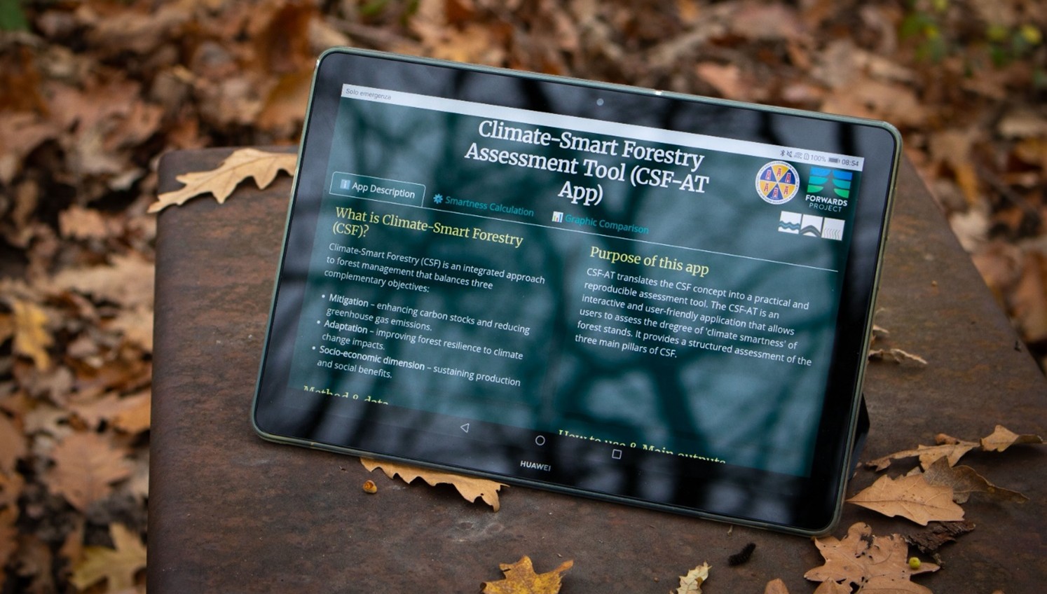
3. CSF Assessment Tool (CSF-AT)
The Climate Smart Forestry (CSF) Assessment Tool (AT) is an interactive, user-friendly, web-based application designed to provide a ‘smartness’ score for forest management at the stand level. It combines multiple indicators through a hierarchical aggregation process to calculate the three core pillars of CSF: namely mitigation, adaptation and social dimension. It also provides clear visual outputs to support comparisons across different forest contexts.

The network of demo sites
There are five demo sites that have current involvement from FORWARDS partners and they will all entail novel monitoring measurement techniques, testing current and new CSF & Restoration activities.